City Council
Mayor Weekly Update for April 22, 2024
Hello, I’m Mayor Phil Goode with your weekly update for April 22, 2024.
Hello, I’m Mayor Phil Goode with your weekly update for April 22, 2024.

All city meeting notices are posted at least 24-hours in advance of the meeting on the City Council Agenda Portal and on the bulletin board
Hello, I’m Mayor Phil Goode with your weekly update for April 15, 2024.

Statement from Prescott City Council As the governing body of the City of Prescott, the City Council takes seriously its obligation to protect confidential and
Notice is hereby given that the Prescott City Council will consider and possibly adopt new and increased fees and charges on the Citywide Fee Schedule.
Hello, I’m Mayor Phil Goode with your weekly update for April 8, 2024.
Hello, I’m Mayor Phil Goode with your weekly update for April 1, 2024.
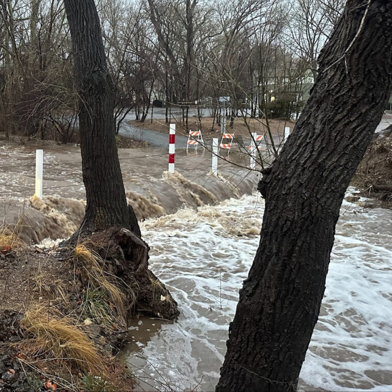
Why Update the Flood Hazard Maps In cooperation with the Federal Emergency Management Agency (FEMA), the City of Prescott (City) has been working on an
Mayor Phil Goode Letter for April 1, 2024 Preparing for Wildland Fire Season in Prescott This time of year, the Prescott area enters wildland fire